The Mongolian Altai mountains. Information
THE MONGOLIAN ALTAI MOUNTAINS or the Ek-tagh - Mongolia's highest mountain range situated in western Mongolia. The main part of the mountain range arises up to 3000-4000 m separates the Kobdo-Gol river basin on the east from the the Irtysh river basin on the west and extends from the Mongolian-Russian border in the north to south - southeast to the eastern Gobi desert regions. The mountain range relative divides to Mongolian Altai and Gobi Altai (Govi-Altai in mongolian). The mountains area is approx. 248,940 square kilometers.
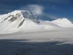
THE TAVAN-BOGDO-ULA. - the highest mountain range in Mongolia. Here is the highest peak in Mongolia - the peak Nairamdal (The Khuiten) 4374 m height. Mountain range is at the junction of Mongolian, Russian and Chinese borders. The Tavan-Bogdo-Ula in mongolian mens "Five Saints Peaks" and from ancient time considered sacred by Mongolians and Kazakhs. The moubtain range consists of five sacred, eternal snow-covered peaks - The Khuiten (Nairmadal), The Malchin, The Naran, The Olgii and the Buraed. The moubtain range has the highest icing Mongolia. Here is three large glaciers - Potanin Glacier (approx. 20 km lenght covers 23 sq km, the largest in Mongolia), Przhevalski Glacier and Grane Glacier. The glaciers feeds the river Kanas in China, the river Ak-Alacha in Russia and one of sources of the river Kobdo-Gol - the river Tsagan-Us-Gol and the Kobdo-Gol tributaries the rivers Tsagan-Gol and the Oigor-Gol in Mongolia. The mountain range situated in Altai Tavan Bogd National Park.
 |
 |
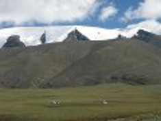 |
| The mountain Khuiten | The peak Khuiten | The Tsambagarav mountains range |
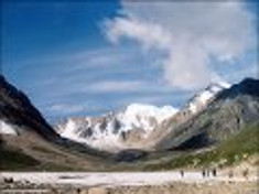
THE TSAMBAGARAV-ULA. The mountain range Tsambagarav-Ula - mighty mountain range, the branch ridge of the Main Mongolian Altai range. The higest peaks is the Tsast-Ula (4206 m height) and Tsambagarav (4149 m height). At the foot of the mountains range flows the river Kobdo-Gol; here is nice sightseeing from the top to the river and situated near the big lake Khar-Us-Nuur. At the foot of the Tsambagarav-Ula lives mongolians-olets descendants of once abundant djungarian tribals. According olets legend "Once a time the man named Tsamba climbed on the peak and disapered . Now people calls this mountain Tsambagarav, that means "Tsamba leave, arise".
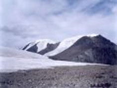
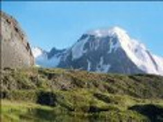
THE KHARKHIRAA-ULA, THE TURGENII-NURU - side mountains ranges situated in Uvs aimag far away to the east from the Main Mongolain Altai range. The highest peaks is The Khaarkhira-Ula (4037 m height) and the Turgen-Ula (3965 m height). Amount of precipitations even at 4000 m height is small, glaciers are open, not very big, cracks uncommon. The glaciers feeds the rivers the Shiver-Gol, the Orlogyn-Gol, the Kharkhiraa-Gol, the Turgen-Gol and the Jamatyn-Gol. The mountains ranges situated in Uvs reserve.
 |
 |
 |
| The mountain Tsast | The peak Turgen | The Kharchira mountain range |
THE ALTAN-KHUKHIIN-NURU - the mountains range in south of Uvs aimag, at lower reaches of the river Kobdo-Gol. The highest peak the Altan-KhuKhiin-Ula (3350 m heights). Rarely visited.
THE KHUH-SERKH-TIIN-NURU - the mountains range on the border Bayan-Ulgii and Hovd aimags. The Khuh-Serkh-Tiin-Nuru connects the main Altai Mountain range to range Cambagarav. Highest peaks - the Takhilt (4019 m height) and the Burgediin-Ula (3775 m height). Eternal snow line at about 3700 m height. Ridge from the west and south is surrounded by the Buyant-Gol river. Here lives arals, argali sheep, ibex, Altai ular and other rare animals.
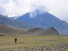
THE DZUN-DZHARGALANT - separately situated mountains range between the lakes the Khar-Us-Nuur and the Khar-Nuur. From the top of range a spectacular sightseeings to central Mongolian Altai and Gobi Altai. The highest peak - Ikh-Bural-Ula (3796 m height). Mongolian name of the mountains range meant - "the spirit of happiness."
 |
 |
 |
| The mountain Tsast | The Munkh-Khairhany mountains range | The peak Munkh-Khairhan |
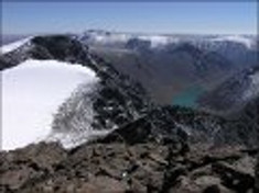
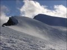
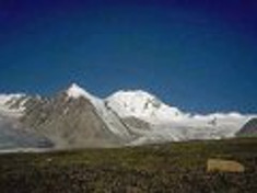
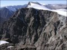
THE MUNKH-KHAIRKHANY is the largest mountain range from side ranges of Mongolian Altai. The Munkh-Khairkhan situated in the south part of the Altai, separated from Main Mongolian Altai range by the river Bulgan-Gol. Here is the second higest Mongolia's peak - the Munkh-Khairkhan (4362 m height). Glaciers cover a large area and feeds a lot of rivers of the river Bulgan-Gol basin.
THE BAATAR-KHAIRKHAN a small mountains range, situated separate close to the Sutai mountains range. The highest peak - Munkh-Tsast (3984 m height). The range is little studied. There remained snow leopard colony, argali rams and other rare wildlife species.
 |
 |
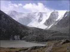 |
| The peak Munkh-Khairhan | The peak Munkh-Khairhan | The peak Munkh-Khairhan |
THE SUTAI muontains range situated at the salty lake Tsetseg-Nuur. At the foot of range lives zakhchins. The highest peak is 4090 m height.
THE CHIKHACHIOV'S MOUNTAINS RANGE situated at Mongolian - Russian border and in Russia. The highest peak - Turgen-Ekhini-Ula (4029 m height). The range is a typical highlands with glaciers (the largest glacier of approx. 5 km lenght situated on northern slopes of the peak Narin-Golin-Ekhiin-Ula. This region is very rare visited.


